
[ Post a Response | Hardy Palms In Temperate Zones Board ]
 Join the discussions, no logins or passwords needed, ever.
Posted by Rob N TN on September 25, 2024, 8:31 pm, in reply to "Tropical storm watch and flood watch!"
Be safe and get your needs before the storm Fred.
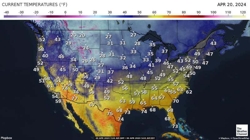
The path keeps changing as it circles back into Tennessee, currently I will be in that eastern quadrant by a few miles and expecting winds along with Crossville at least 38 mph. That may still be tropical storm strength but not sure. Areas west and lower in elevation will have decreased wind speeds and possibly higher rain totals. The front passing through currently has dropped 1.5" of rain and could get another inch of rain before the big storm gets here Friday and they are saying 4 to 5 inches then. So glad to get this rain but the Hurricane will be strong in Florida. All my Panhandle cousins are out west on vacation and hope they come home with no damage to Port St Joe. They don't worry about the weather and I rarely mention it to them. Hardened Floridians 
82
Responses
« Back to index | View thread »
 Welcome to the forum.
Contact: hardypalmsintemperatezones@gmail.com
Visitors are urged to post any information pertinent to plants, weather, or topics related to either. Off-topic posts, Spam posting, "inflammatory posts" and advertisements are subject to removal at the discretion of the moderators.
NEW FEATURE FOR LOADING PHOTOS IN YOUR MESSAGES: The HARDY PALMS IN TEMPERANT ZONES has a great new feature when adding photos into your message body. As of May 2010 , You can now add photos in your message body straight from your computer files and we recommend Imgbb found in the message body form. * Your certainly welcome to transfer photos from your Photo Albums located in on-line Photo Albums like Imgur, Photobucket or others.
.
.
* If you have an address for the photo, you can use html language to post a photo. example:
<
img
(space)
src
=
"
(photo address)
"
>
leave no spaces except between img and src.
all html language must be used <=" ect. (tightly)
.
.
.
The address of the photo must fit between the " " tightly
.
.
.
* If anyone has any issues with this forum at any time, please feel free to let me know. Thank you. Barry z7b Mississippi - moderator
* hardypalmsintemperatezones@gmail.com
.
.
.
Welcome to the forum.
Contact: hardypalmsintemperatezones@gmail.com
Visitors are urged to post any information pertinent to plants, weather, or topics related to either. Off-topic posts, Spam posting, "inflammatory posts" and advertisements are subject to removal at the discretion of the moderators.
NEW FEATURE FOR LOADING PHOTOS IN YOUR MESSAGES: The HARDY PALMS IN TEMPERANT ZONES has a great new feature when adding photos into your message body. As of May 2010 , You can now add photos in your message body straight from your computer files and we recommend Imgbb found in the message body form. * Your certainly welcome to transfer photos from your Photo Albums located in on-line Photo Albums like Imgur, Photobucket or others.
.
.
* If you have an address for the photo, you can use html language to post a photo. example:
<
img
(space)
src
=
"
(photo address)
"
>
leave no spaces except between img and src.
all html language must be used <=" ect. (tightly)
.
.
.
The address of the photo must fit between the " " tightly
.
.
.
* If anyone has any issues with this forum at any time, please feel free to let me know. Thank you. Barry z7b Mississippi - moderator
* hardypalmsintemperatezones@gmail.com
.
.
.